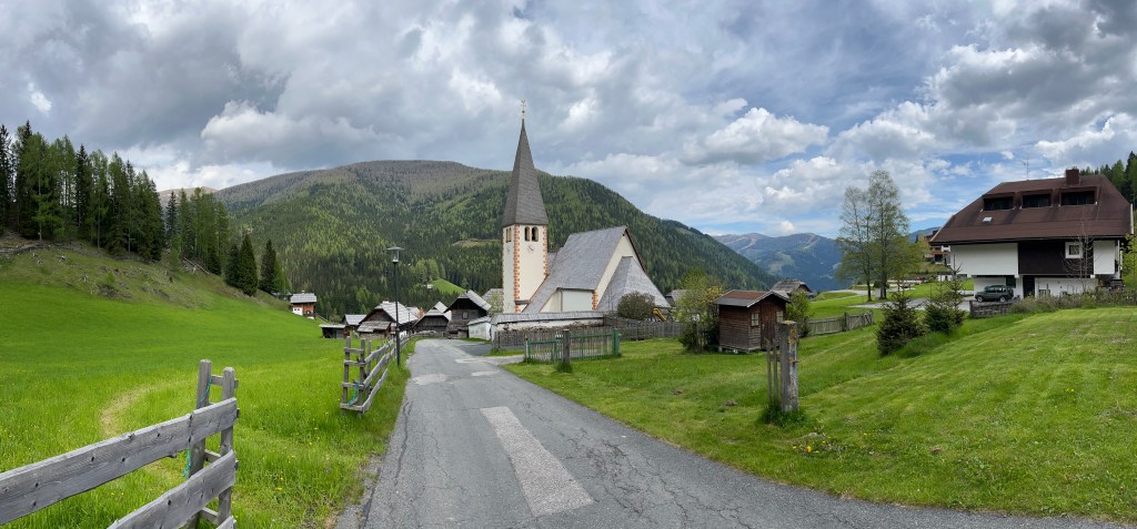
There has been a religious building dedicated to St Oswald in this small valley in the Nock Mountains since some time before 1197, when a chapel is first mentioned in the context of the nearby monastery at Millstatt coming into possession of lands in the area. In the following century the chapel became a church and the small settlement continued to develop around it, at an altitude of about 1300m.
The village of Sankt Oswald (Gemeinde Bad Kleinkirchheim) is one of fifteen settlements in the alps that bears Oswald’s name. Settlements named after saints abound in this region. Most were founded during waves of colonisation and forest clearance in the central Middle Ages, meaning that a church was built in the early stages of the development of a settlement, and the settlement then simply took its name from the patron saint of the church. Why Oswald of Northumbria was a relatively popular choice as patron for these newly founded settlements is not entirely obvious, but is consistent with his popularity as a patron of rural parish churches in German-speaking regions. It also points to a wider process whereby the patron saints of churches became embedded in local landscapes in varied ways, with not just the settlement being named after Oswald, but various geographical features too.
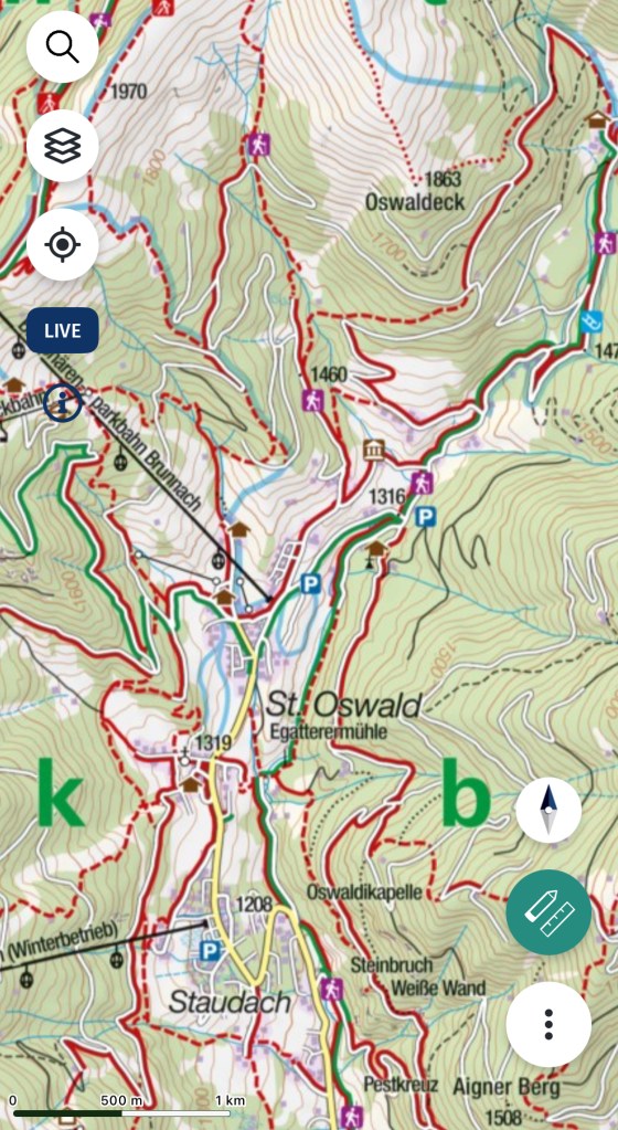
The stream that rises high up above the village on the southern slopes of the Falkert Mountain is known as the Oswaldbach. It flows down the valley, through the settlement and on towards Bad Kleinkirchheim in the valley below. The Oswaldbach is the main source of water for the village, even to this day, and is thus a way in which Oswald provides for his settlement. His association with the brook, whose babbling can be heard throughout the valley, is commemorated in a small chapel positioned adjacent to it.
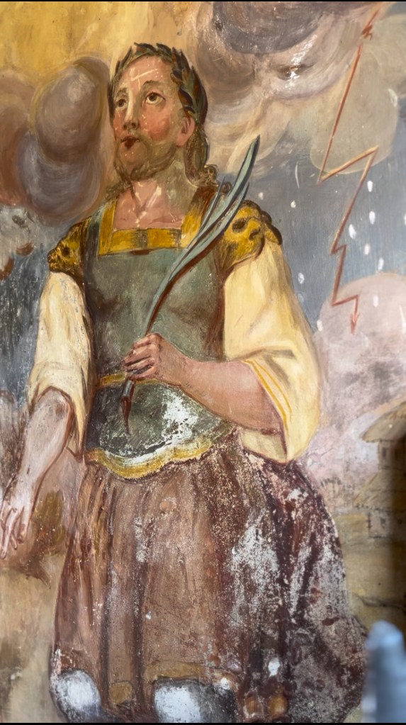
Erected in 1835, this wayside chapel is decorated with a painting of Oswald with sceptre, raven and ring, a type found again and again in the German-speaking world, but also with an additional depiction of Oswald, that is both less frequently found and also underscores how he has been adapted to the an alpine context, far removed in time and space from his origins spreading Christianity in northern England. He is shown kneeling holding a martyr’s palm and wearing a martyr’s wreath. In the background dark clouds unleash lightening and rain. This iconography references Oswald’s role as a weather saint. Not only did he provide water for the village, but he looked after the cattle and harvest and villagers would pray to him to secure weather to help with their agricultural endeavours.
Through this depiction of Oswald and its connection to the brook, we can see the extent to which Oswald has been remoulded to fit the needs of people living in this alpine landscape. The warrior king spreading Christianity as found in Bede is of no relevance here; what is needed from a saint in this landscape is drinking water and fair weather for cattle and harvest.

It is perhaps his role as a protector of the cattle grazing on high alpine pastures that is behind another geographical feature that is named after him. This is a promontory, known as the Oswaldeck, at 1863m, from which there is an amazing view over the village and pastures below. The promontory juts out so that it is clearly visible from the valley and the sound of the Oswaldbach can still be clearly heard here. It is not the highest peak in the vicinity, and indeed there are further pastures between it and the Mallnock (2226m), which sits behind the Oswaldeck at the end of a long ridge. However, unlike the higher peaks, the Oswaldeck stands in relation to the village and the valley. When you stand on the Oswaldeck, the topography of the mountains means your eyes are drawn to the settlement and pastures in the valley below. It is a promontory that watches over and protects the valley, different in character and atmosphere to the silent and solitary rugged peaks that rise above it, with their 360-degree views over the alps.
The Oswaldsbach, the wayside chapel and the Oswaldeck are indicative of the ways in which Oswald’s presence in the landscape extends beyond the church, which gave its name to the village of Sankt Oswald. They are visual (and in the case of the Oswaldsbach also sonic) markers of his protection of the landscape and the people living in it. He provides drinking water, intercedes with God for favourable weather for the harvest, and watches over the cattle grazing in alpine pastures. Whereas in Northumbria, Oswald’s connection to the landscape is rooted in historical sites with genuine associations with him, in this alpine village, the historical Oswald is of no tangible relevance. Instead, Oswald has become embedded in a sacred landscape, which served the needs of this rural community.

